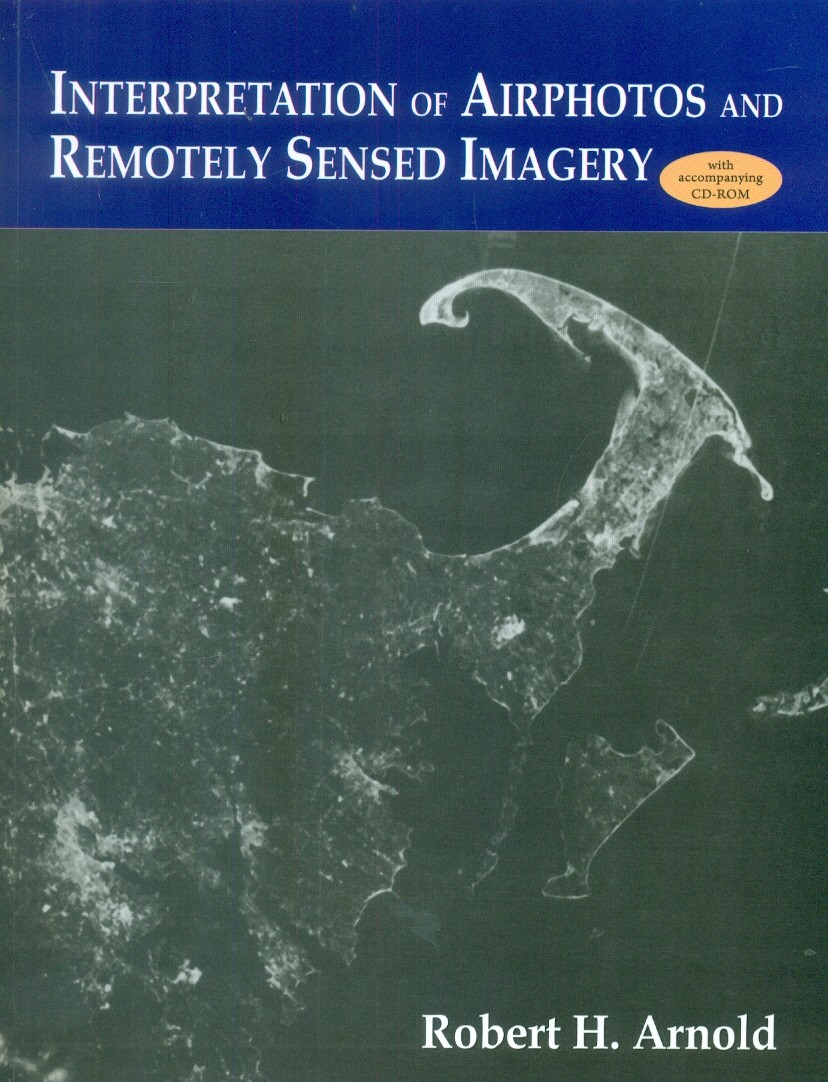
Interpretation Of Airphotos And Remotely Sensed Imagery With Accompanying Cd Rom (Pb 2015)
no information available
The exercises deal initially with fundamental concepts that are involved in working with maps and aerial images. The intent is to allow anyone with training in a field that utilizes air- photos or other remotely sensed images to enlist this manual as an aid in learning techniques of interpretation. Succeeding exercises gradually increase in level of difficulty and sophistication while assisting the user to learn more advanced methods of interpretation. The ultimate goal is to train junior and senior college students, graduates, and professionals to extract information from images efficiently so that image interpretation becomes a useful tool in their particular field of investigation.


